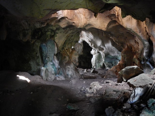
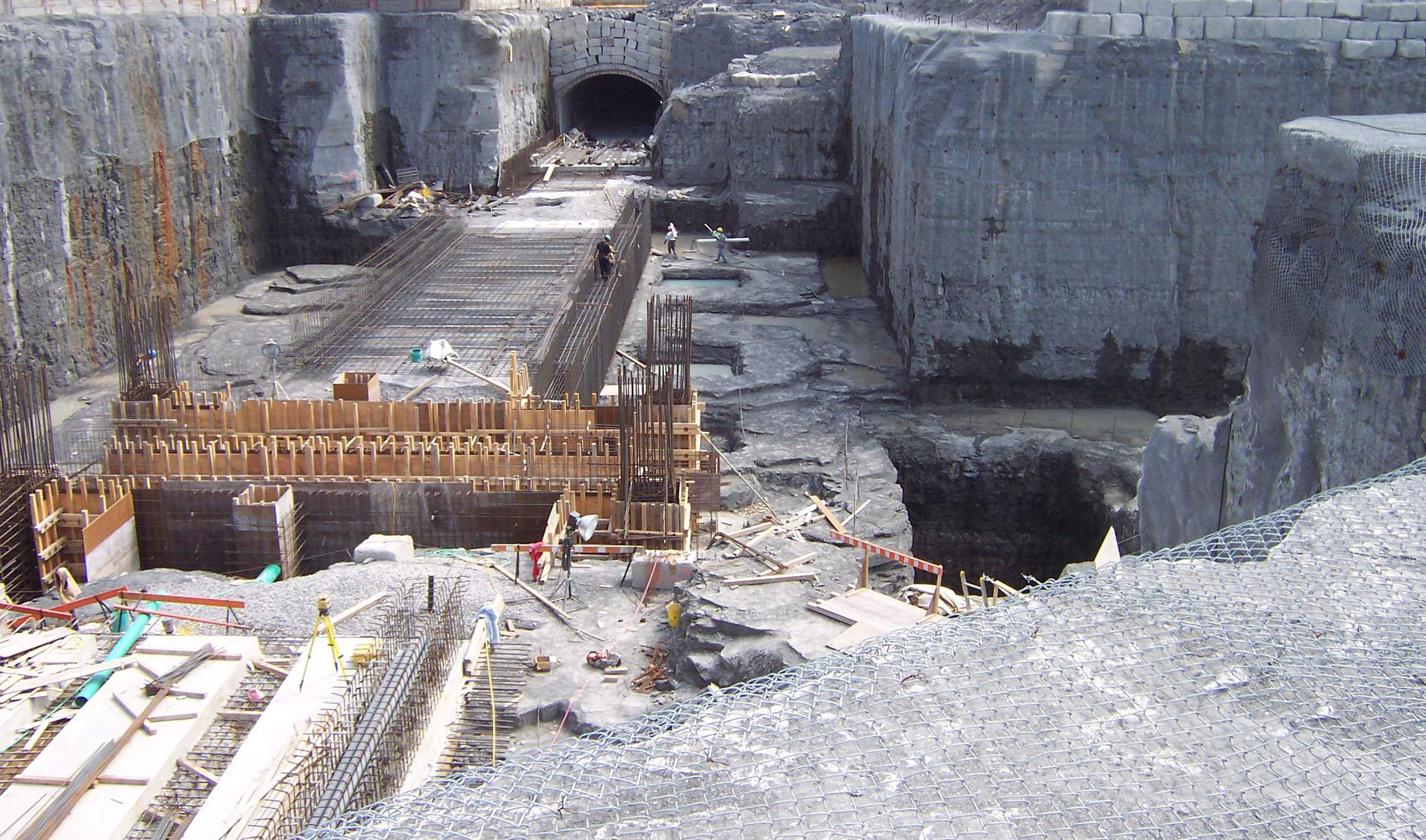
Soil subsidence, cavity, void and karst mapping can be effectively done by many geophysical methods. The choice of method(s) requires knowledge of the site conditions, the regional geology and the geophysical principles.
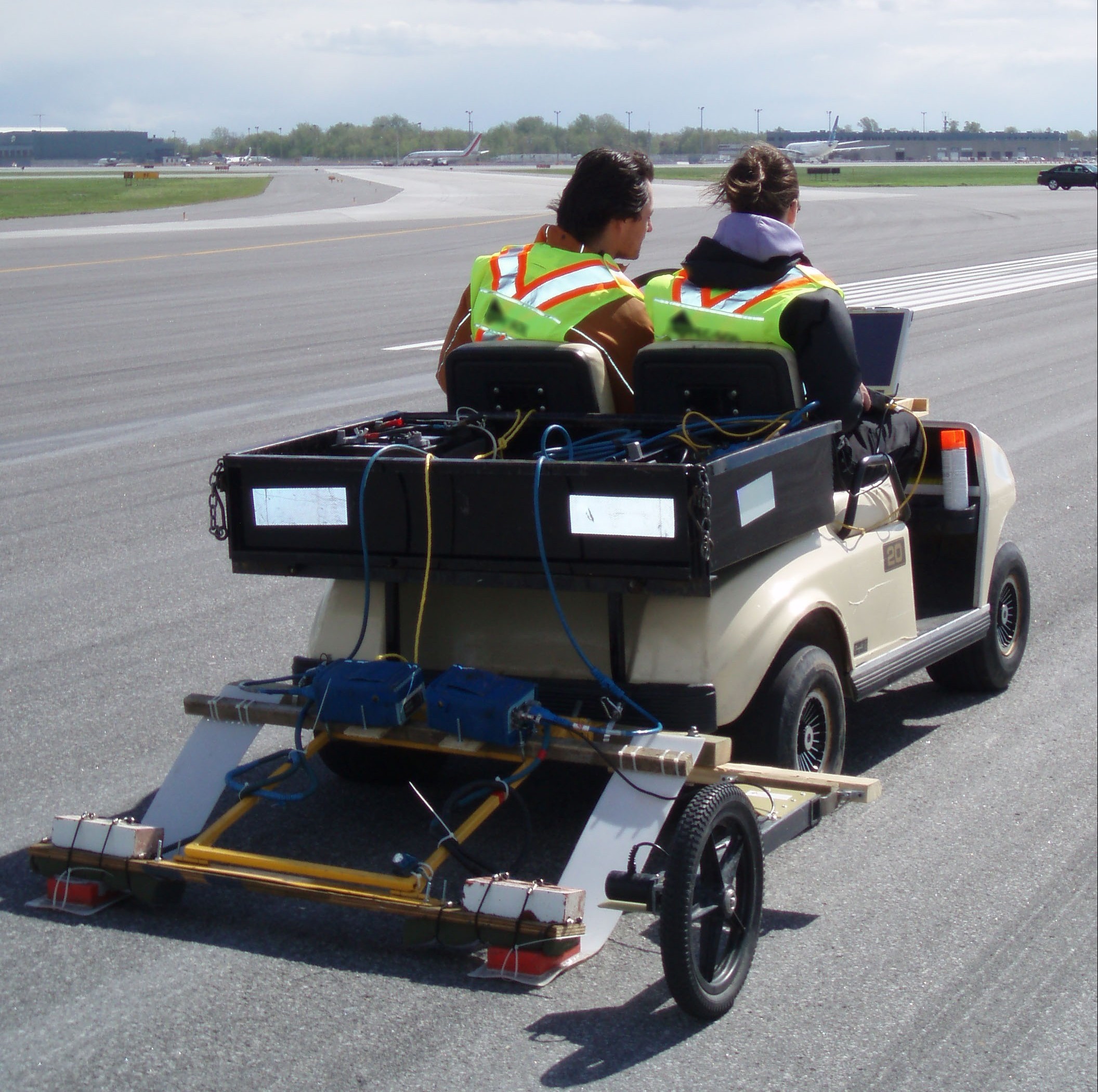
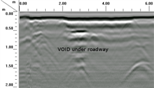
Georadar is the most common technique for mapping soil subsidence, cavity, void and karst features in the upper few meters.
Georadar can efficiently cover a large area with high resolution results and is ideal for delineating voids beneath asphalt and concrete.
The electrical resistivity, micro-gravity and seismic methods are complementary techniques that are commonly used.
For more information, please contact our Ground Survey Team.


