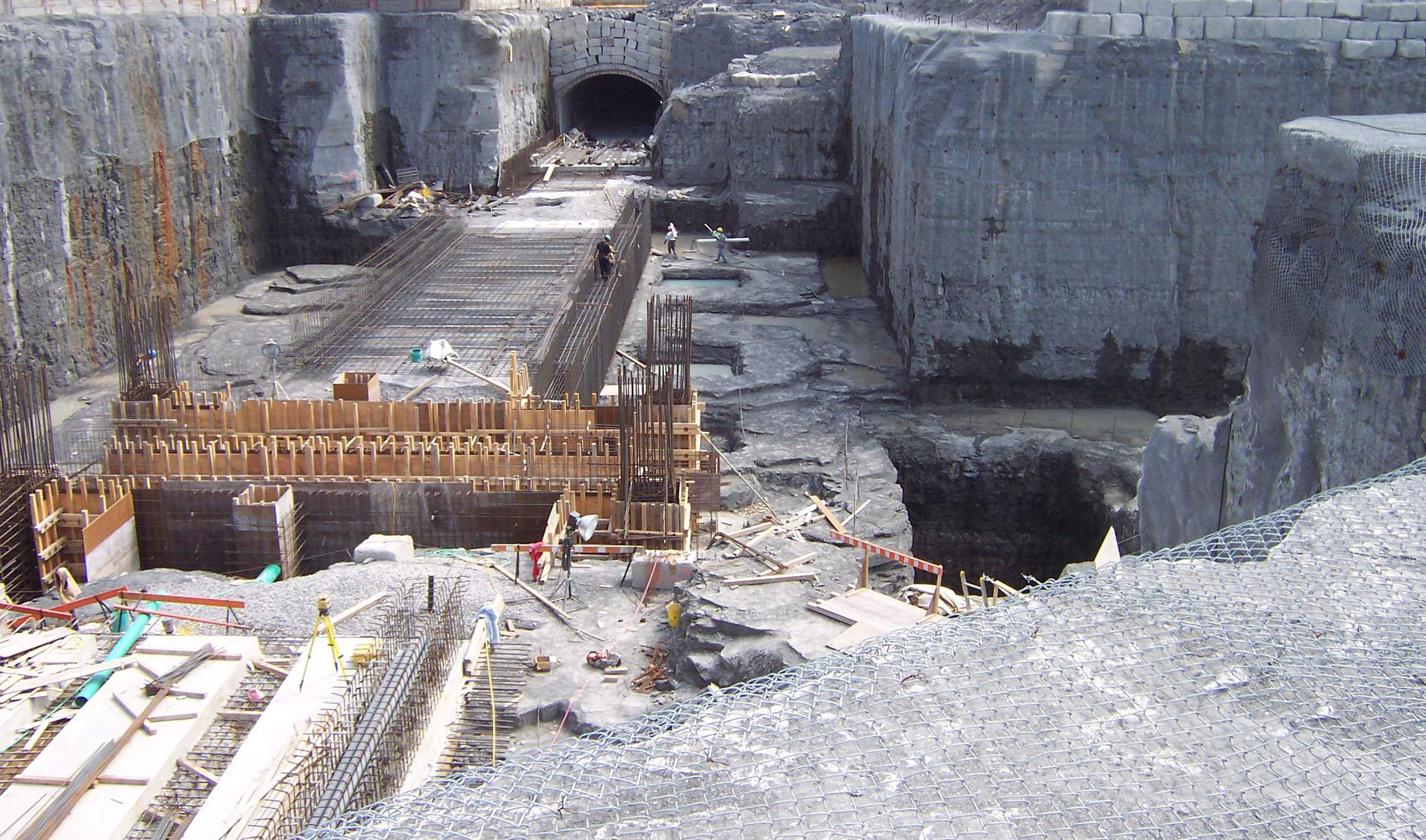
Geophysics GPR is very experienced in choosing the most appropriate methodologies for subsurface mapping of overburden/soils and bedrock from the numerous geophysical techniques available. The choice of method(s) needs to be based on the ultimate goal of the client, knowledge of the site conditions, knowledge of the regional geology and knowledge of the geophysical principles.
Different methods for Overburden and Bedrock Mapping
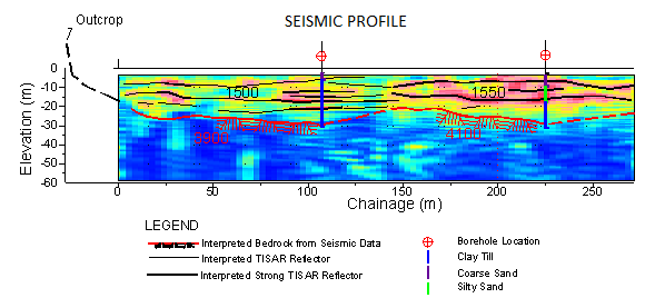
The seismic methods (refraction, reflection, resonance and surface-wave analysis), are the most established techniques for mapping bedrock depth and features under the widest range of site conditions with seismic refraction being the preferred methodology for mapping depth to competent bedrock for engineering projects.
Electrical resistivity and IP tomography surveys are ideally suited for environmental and hydrogeologic investigations where soil properties, contaminants dispersion and groundwater studies are of primarily interest.
Other methods, including gravimetry, georadar and other EM techniques, are also regularly employed for mapping geology.
The airborne and marine sections of our website provide information on geological mapping from the sky and sea respectively.
For more information, please contact our Ground Survey Team.
