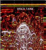
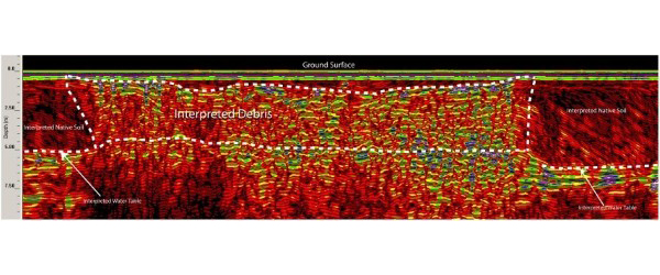
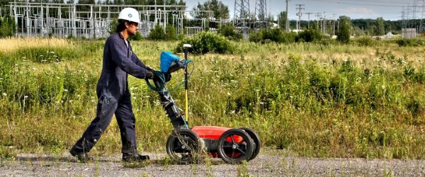
Ground penetrating radar or georadar is commonly used to locate buried storage tanks (metallic and non-metallic), debris, pipes, limits of landfills and buried foundations.
To a lesser extent, ground penetrating radar can also be used to map certain contaminant plumes and preferred paths of migration of contaminants in environmental studies.
For more information, please contact our Ground Survey Team.


