Geophysics GPR is heavily involved in performing geophysical surveys relating to the design and operation of existing and proposed mine sites. Typical applications range from bedrock surveys for determining optimum head-frame locations to environmental geophysical surveys for site decommissioning.
The following services offered by GPR are often employed at proposed, existing and abandoned mine sites:
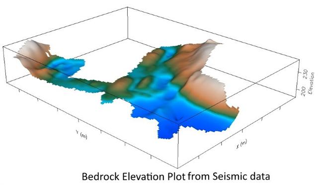
- Surveys for bedrock depth mapping;
- Seismic site classification surveys for infrastructure;
- Exploring for aggregate;
- Vibration monitoring;
- Georadar surveys of salt mines and mapping swamp thickness;
- Blast design;Environmental studies;
- Tailing investigations, thickness and volume;
- Mapping leakage through earth dams;
- Mapping of stopes, drifts, shafts and raises.
For more information, please contact our Ground Survey Team.


