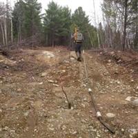
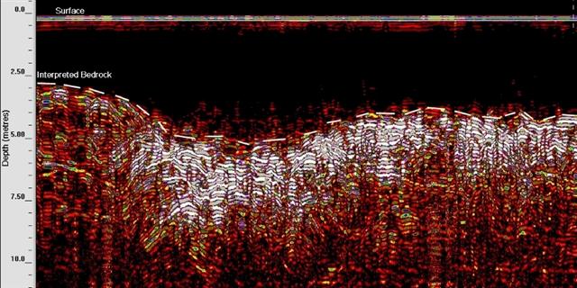
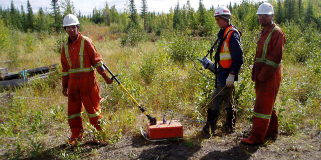
Georadar provides an accurate, non-destructive means of mapping the earth's subsurface. Geologic features such as stratigraphic layering, sink-holes, depth to bedrock, karst features, groundwater contact and bedrock features can be mapped quickly using Geophysics GPR's wide range of available antenna frequencies.
For more information, please contact our Ground Survey Team.


