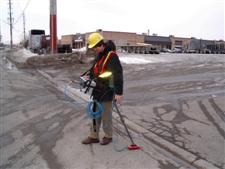
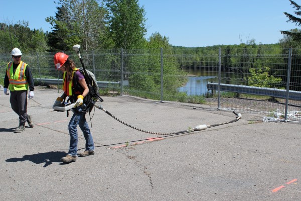
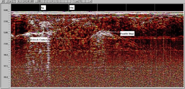
Georadar is commonly used for the detection of voids or soil subsidence beneath concrete slabs and roadways; and within rock and soils.
The technique has also been used to successfully identify the locations of abandoned mine stopes.
For more information, please contact our Ground Survey Team.


