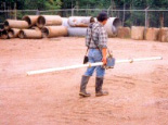
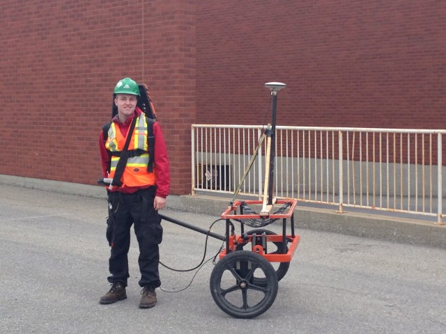
The use of the properties of magnetism and electromagnetism constitutes a large part of the domain of geophysics. A multitude of different instruments exist, all based on similar principles, but having certain differences in the way data is acquired and processed.
The basis of the electromagnetic technique is the use of a coil with an alternating current circulating within it. This causes a magnetic field to be created around the coil. In reaction, a secondary field is created in the ground, to try to counteract the influence of the primary field from the coil. It is this secondary magnetic field that is measured and analyzed in different ways, depending on the application.
Magnetometry is a potential field technique which measures variations in the Earth's magnetic field. These variations can be caused by buried objects such as drums and storage tank or by a range of mineral deposits and geologic structures. Different types of magnetometer exist, each with different levels of precision and resolution.
Typical applications of electromagnetic and magnetic methods include:
- Detection of buried metallic objects;
- Contaminant mapping;
- Groundwater exploration;
- Minerals exploration (ground and airborne);
- Environmental applications;
- Archaeology;
- Geological mapping.
- Oil and Gas exploration (MT)
For more information, please contact our Ground Survey Team.


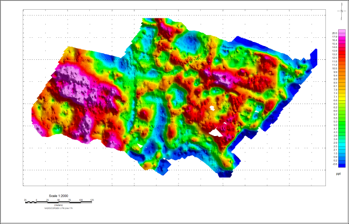
The image above shows the concentration of buried metal debris at a former landfill.

