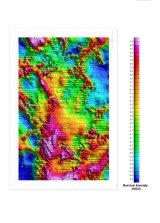
Gravimetry is a potential field technique which measures variations in the Earth's gravitational field. These variations are caused by density contrasts in the near surface rock and sediment. Gravimetric surveys are carried out using extremely sensitive instruments capable of measuring tiny variations in the gravitational field.
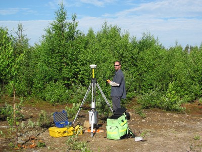
Geophysical surveys are performed with gravimeters and are always accompanied by a high-precision topographic survey.
Gravimetry applications include:
- Regional geological mapping;
- Detection of karsts and voids;
- The determination or improvement of terrestrial geoid;
- The oil and gas exploration
- Mineral exploration;
- Measurements of sediment thickness;
- The archaeological surveys.
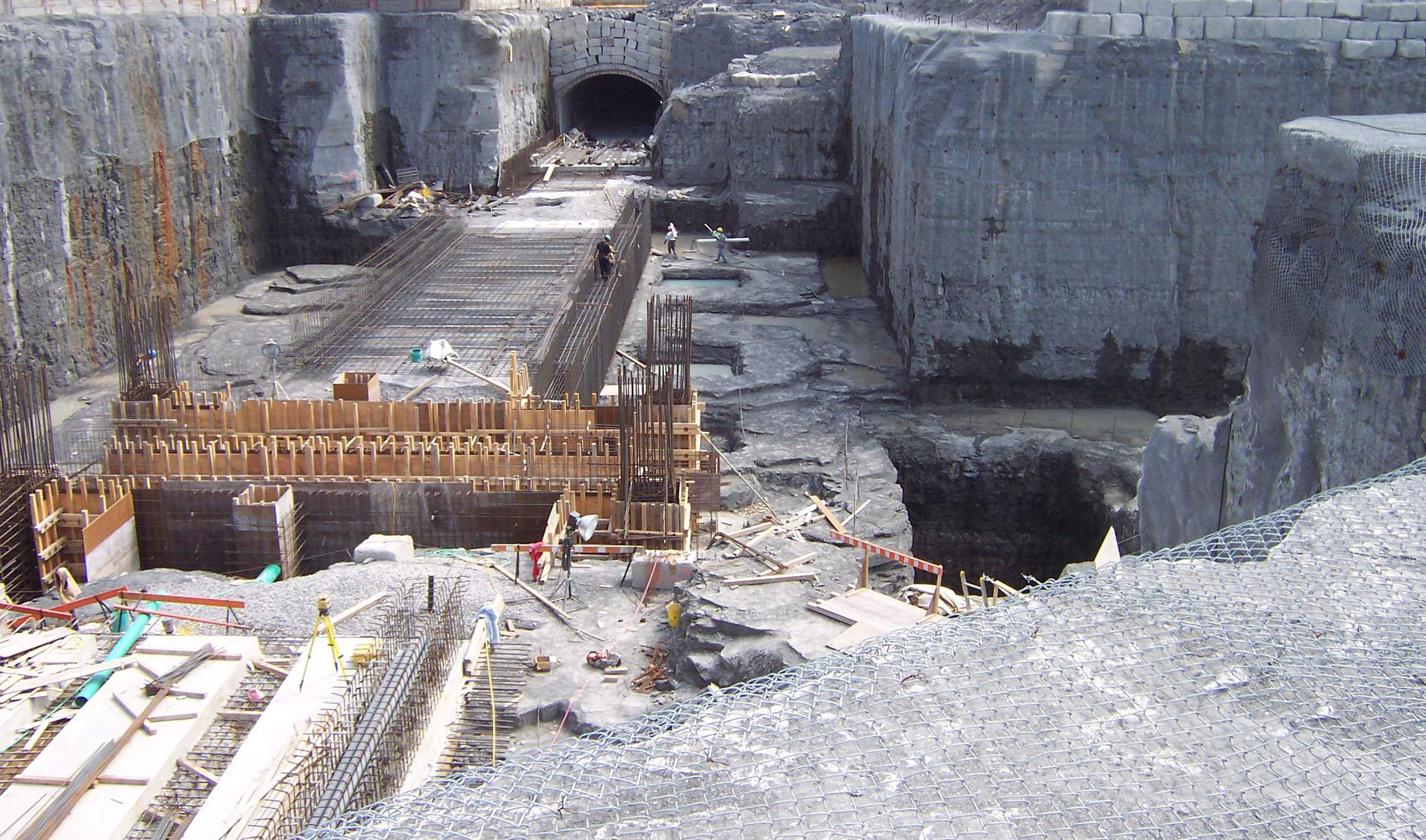
Microgravimetry is a rising and important branch developed on the foundation of classical gravimetry. Microgravity investigations are carried out in order to solve various problems of engineering geology, mainly location of voids and their monitoring. Very detailed measurements of high accuracy can indicate voids of any origin, provided the size and depth are large enough to produce gravity effect stronger than is the level of confidence of relevant gravity signal.
For more information, please contact our Ground Survey Team.


